

The so-called «Nazca Lines» (also written as Nasca), in the middle of the desert in south-central Peru, continue to intrigue scientists and visitors hundreds of years after their creation.
Some are preserved in perfect condition, others have been slowly erased by winds, erosion and the passage of time.
There are more than 140 forms that go from some already known, such as monkeys and snakes, to others that have surprised scientists, such as a humanoid being with a staff whose meaning will now begin to be studied.
What are the Nazca Lines?
Located about 400 kilometers from Lima, the Nazca lines were unknown for centuries, until the beginning of aviation discovered the enigmatic forms that are only visible from above.
Together, they occupy an area of ??approximately 517 square kilometers of desert and include hundreds of geoglyphs, created by the Nazca civilization between 500 BC. and 500 A.D.
These designs were outlined as channels or trenches in the sand, that is, as engravings in low relief, but the arid conditions of the terrain have allowed their conservation for centuries.
With these figures, the ancient Nazca society, developed some 2,300 years ago, «transformed an extensive barren territory into a cultural landscape with high symbolic, ritual and social connotation,» according to the Ministry of Culture of Peru.
The lines were discovered in 1927 and according to Paul Kosok, an American academic who dedicated himself to their study, they were «the largest astronomical book in the world», marking the winter and summer solstices.
However, so far its purpose is unknown.
In 1993, the geoglyphs became an archaeological reserve and part of the Cultural Heritage of the Nation of Peru.
A year later they were declared a World Heritage Site by the United Nations Educational, Scientific and Cultural Organization (Unesco).
«They are the most outstanding group of geoglyphs in the world and are incomparable in extension, magnitude, quantity, size and diversity with any other similar work in the world,» said UNESCO.
«They form a singular and magnificent artistic achievement of the Andean culture,» he added.
The aura of mystery that surrounds this pre-Inca work is due to three fundamental characteristics:
its monumentality;
the fact that the designs can be fully appreciated only from great heights;
its location in the middle of one of the driest deserts in the world.
Among the most striking and popular geoglyphs are the following:
The hummingbird, whose image you can see on the cover of this report. It stands out for its harmonic dimensions. Between its two wings there is a distance of about 66 meters. According to the historian María Rostworowski, this figure is a tribute to a flying god to avoid the absence of rain.
The monkey has a spiral-shaped tail and nine fingers, and its size is 135 meters. It was discovered by María Reiche, who considers that the tail and the hands of the geoglyph are directly related to the constellations and the rainy season. It is believed to represent the Big Dipper.
The spider is another of the most characteristic figures of Nazca. It is about 46 meters long and is believed to have been drawn to avoid droughts.
The giant bird is 300 meters long and 54 wide. It has a snake-shaped neck and its beak points directly towards the point where the sun rises in June. Researchers consider that it is the «Announcer of Inti Raymi», the solar festival of the Incas.
The man-owl, popularly known as the astronaut, is a strange anthropomorphic figure that has become one of the best known of the Nazca Lines. Pseudo-archaeological theories defend that it is a figure with a diving suit or helmet and rely on it to explain that the geoglyphs were drawn as messages for aliens.
The whale is about 60 meters wide and 20 high. Researchers believe it symbolizes a marine deity.
History of the Nazca Lines
American anthropologist Paul Kosok was one of the first researchers to hypothesize about the origin of the Nazca Lines. According to his theory, they were traced by the Nazca civilization, an archaeological culture of Ancient Peru, which developed in the valleys of the current department of Ica between 300 BC and 600 AD. In addition, the hypothesis is reinforced by the coincidence of the drawings of the roads with those that appear in the ceramics of the Nazca culture.
The first testimonies of the existence of the Nazca Lines date from the year 1547. The Spanish historian and chronicler Pedro Cieza de León explained that he had seen «signs in some parts of the Nazca desert.» However, these claims were not investigated at the time and were forgotten.
Although the shapes can be seen from the nearby hills, it was the Peruvian pilots who warned of their presence. In 1929 the Peruvian archaeologist Julio César Tello began to study them, and the same year Paul Kosok began his research. The North American anthropologist was studying the lines until the 1950s, and was in charge of finding out that they date from 550 AD using the Carbon-14 technique.
His partner, the German María Reiche Neumann, was the greatest researcher of the mysterious forms and dedicated her life to their study, conservation and dissemination. Thanks to her work, the Nazca Lines were declared Cultural Heritage of Humanity by UNESCO in 1994.
The Swiss Liechtenstein Foundation for Archaeological Research Abroad was the institution that carried out the first systematic field study. The research, led by archaeologists Markus Reindel and Johny Isla Cuadrado since 1996, has excavated and documented more than 650 sites to analyze the drawings and clarify their meaning.
In 2015, a team of researchers from the University of Yamagata (Japan) presented the results of their study, which demonstrated its origin and also its possible function. According to his theory, the geoglyphs adorned the pilgrimage route to the pre-Inca city of Cahuachi, capital of the Nazca Culture.
Recently, last April 2018, Peruvian archaeologists announced the discovery of 50 new geoglyphs, discovered thanks to the help of drones and satellite data. According to the impressions of these archaeologists, among whom is Luis Jaime Castillo Butters, some of the new lines discovered, which do not have a discernible pattern, were drawn by the Paracas and Topará cultures between 500 BC and 200 AD., so that centuries before the inhabitants of the region were already experimenting with the drawing of figures on the ground of enormous dimensions.
Meaning of the Nazca Lines
The purpose and meaning of the Nazca Lines is one of the great enigmas that those who have investigated them have faced. And, why would the Nazca want to draw figures on the earth that can only be seen from above? Some consider them simple ways of worship, others believe that they are a gigantic calendar, others that it is some kind of ritual to invoke the rains … We summarize the main theories below.
The Peruvian archaeologist Julio César Tello, the first to study them, described them as a series of «sacred roads». Later, in 1932, Toribio Mejía Xesspe pointed out that the lines were part of a disappeared cult and that they were nothing more than roads with a religious sense.
Paul Kosok’s performance was different. The American anthropologist defined them as a great astronomical book, «the largest-scale calendar in the world.» Along the same lines, the conclusions of María Reiche Neumann point out that the shapes are a gigantic solar and lunar calendar that Peruvian astronomers used to make forecasts about the harvest and rainfall. The researcher thought that the purpose of the Nazca was to point to the sun and other celestial bodies with their figures, and they are also related to the solstice and the equinox to establish the solar calendar.
The Swiss journalist and writer Henri Stierlin published in 1983 a book entitled «Nazca. The solution of an archaeological enigma», which offered a new theory about the meaning of the drawings of the Peruvian desert. According to the author, the lines functioned as looms (in Nazca fabrics with a size greater than 20 meters have been found) and the figures had a protective character.
The German archaeologist Markus Reindel and the Peruvian Johny Isla put forward another theory. According to them, the geoglyphs were drawn as part of a ritual invocation of the rains, since the area lacked sufficient water resources and was punished with long periods of drought.
In 2015, researchers from Yamagata University in Japan presented the results of their study at the annual convention of the American Archeological Society, noting that they had solved the mystery of the Nazca lines. After analyzing the different images, the team determined that there are four different types of geoglyphs that are grouped together in different routes, all bound for the pre-Inca city Cahuachi, capital of the Nazca culture and center of pilgrimage.
According to Japanese researchers, the Nazca Lines were traced by at least two cultures, as two different types of techniques and symbolisms are clearly distinguished. In addition, they explain that the purpose of the geoglyphs was changing over time. Although at the beginning they were built for worship purposes, later they were located on the road to Cahuachi so that the pilgrims could admire them.
After the recent discovery of new drone lines last spring, it seems clear that the creation of mammoth figures predates Nazca culture. «This means that it is a tradition of more than a thousand years that precedes the famous geoglyphs of the Nazca culture, which opens the door to new hypotheses about their function and meaning,» says Johny Isla, an archaeologist at the Ministry of Culture of Peru.
However, despite all the theories, studies and hypotheses, at present it is still unknown what is the objective and real meaning of the enigmatic Nazca Lines.
Nazca Culture
The Nazca Culture was discovered by the German archaeologist Max Uhle in 1901. It developed in the valleys of Chincha, Pisco ICA, Nazca (Rio Grande) and Acari (southern coast of Peru). In the Nazca Valley, the Kawachi site on the banks of the Rio Grande in the current province of Nazca, department of Ica, was most likely the capital of the State, since in addition to the residential houses, there were public buildings that performed ceremonial functions and, also, administrative.
Location
Its main seat was Kawachi, the first city of Peru, in the province of Nazca, later extending through the valleys of Río Grande, Ingenio, Ocucaje in the Ica valley and Topará to the north of Chincha and the Acarí valley to the south.
Nazca is a valley in the middle of the desert. There an agriculture was fruitful thanks to the construction of numerous channels and underground aqueducts that allowed rational use of underground water, springs, puquios or the flow of rivers, in increasing times. Some of the works continue to be used by current farmers.
Antiquity
The Nazca Culture developed between 100 years AD. 800 years A.D.
Protonazca (100-200 AD) with marked influences from Paracas ceramics.
Nazca early (200 AD-300 AD), where the Nazca style itself appears.
Middle born (300-400 AD), evolution towards increasingly symbolic motifs.
Late Nazca (400-700 AD), the rise of complex motifs, where almost the entire ceramic surface was even covered with drawings (the so-called “horror of the void”).
Nazca final (700-800 AD).
Economy
The economy in the Nazca Culture was based on agriculture, fishing and livestock, handicrafts occupying trade and war a very prominent place.
It had its economic base in agriculture. This activity was presented for the Nazquenses as a difficult challenge to overcome due to the geographical characteristics of the region where they were developed, since the climate is dry, agricultural lands are scarce and there is little availability of water for irrigation due to the reduced flow of the rivers in the region, especially those in the Rio Grande basin.
The Nazca Civilization solved this problem with the development of an irrigation technology based on the use of irrigation canals and underground galleries built to take advantage of the water table in the area where rivers pass below the surface. This technology is called «puquios» and apparently they were the basis of irrigation especially from the Middle Nazca phase onwards. The main crops of Nazca were: corn, beans, squash, squash, yucca, peanuts, chili, guava, lucuma, pacae and cotton.
Social organization
The ruling elite was made up of priests, soldiers, administrative officials, and middle leaders.
The exploited popular class was made up of peasants, artisans and fishermen.
Political organization
The warrior priests and the militarist caste to further exploit the people set up a state of theocratic militaristic character, because it was divine.
Ideology
The priests when presenting explain the origin and progress of the world, of the same society created certain myths and rites that helped them in their tasks of divination and magic, the feline figures the representations of the dog, monkey, spider, hummingbird, lizard, pelican, etc. Carried out in the pampas of ingenio palpa, nazca and covered socos more than 350km.2
Art
The arts of the Nazca Civilization are:
Ceramics
It was very elaborate, its most typical shape the globular pitchers, with two cylindrical peaks joined by a bridge, they also made plates, glasses, spherical pots, representing animals, fruits, and men, it was a polychrome ceramic they used up to 8 colors.
The Nazca Lines
Between Nazca and Palpa, in the Ingenio pampas, there is a complex network of lines and designs of great proportion known as «Geoglyphs» Some of them reach up to a dimension of 300 meters.
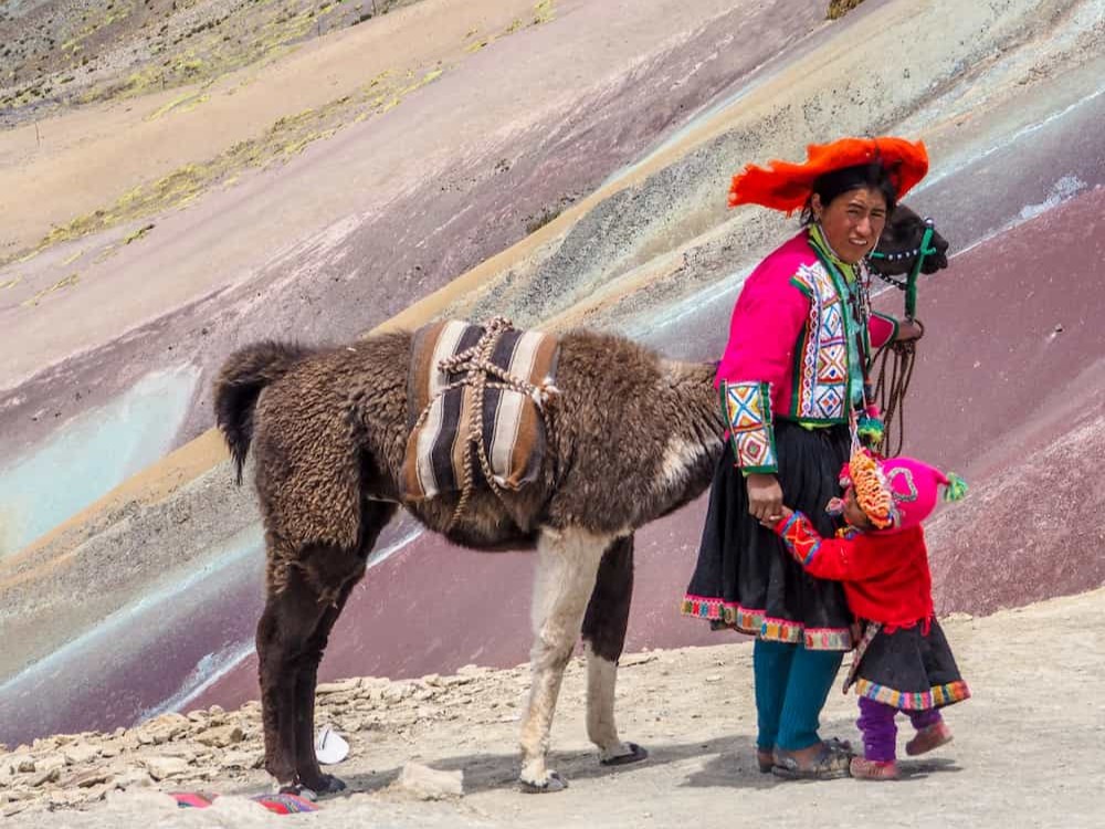
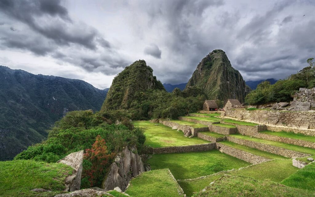
It can be distinguished from the closest hills and from Lego much better if you fly over it by plane. Another interesting tour in Perú is the inca trail to machu picchu.
The pre-Inca cultures were in one way or another linked to the custom of cutting off the heads of their enemies and displaying them as an element of power. In Nazca Civilization, the preparation of these trophies was not only carried out with great frequency, but it also took on a habitual character and became an obsession for the Nazquenses.